JURUUKUR SYNERGY
JURUUKUR TANAH BERLESEN / LICENSED SURVEYOR
Grounded in Precision
Committed to excellence and technological progress, we specialize in integrating cutting-edge LiDAR technology into our surveying processes.
Our vision is to set new industry standards by demonstrating how LiDAR-driven solutions enhance data density and accuracy, ultimately transforming survey results across a wide range of applications.

Our Services
Our team of experts bring reliable survey expertise to every project — land, sea or structure.
Here’s what we do best.

Title Survey
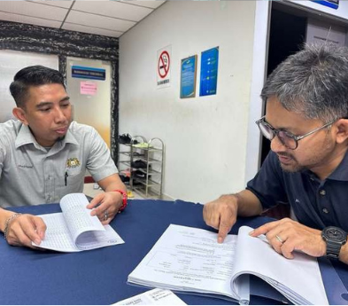
Detailed examination of a property conducted by our licensed professional land surveyors.

Survey Engineer
Planning, design, construction, operation and maintenance of engineered projects – we can support your projects.

LiDAR Survey
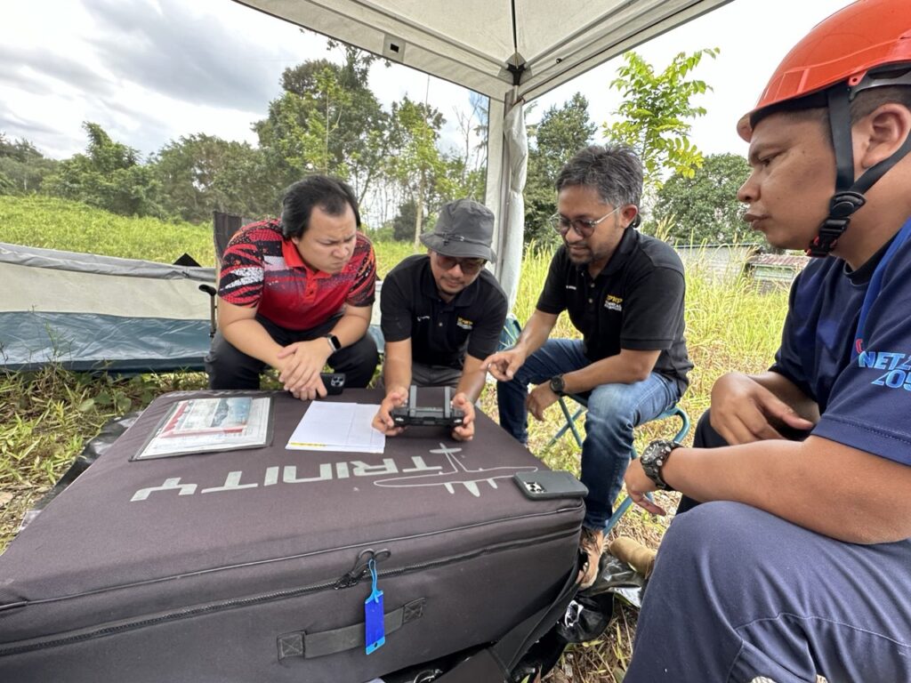
Utilizing Light Detection and Ranging (LiDAR) with high spec equipment to create high precision 3D maps.


Case Study 2
LOCATION
TOTAL AREA
TOTAL TIME
TOTAL LENGTH
JALAN TAMPIN
1 HOUR 30 MINUTES
37 HECTARES
1.3KM (14% FROM TOTAL LENGTH OF 9.25KM)
Our Partners
Leading in technology and geospatial intelligence


Why LiDAR
Problem
Land surveying has faced limitations with traditional methods, particularly in data density and interpolation, leading to inaccuracies in complex terrains.
Solution
Juruukur Synergy capitalise LIDAR technology to capture high-density point clouds, reducing the need for interpolation and improving precision. This innovative approach enhances deliverable quality while complementing conventional surveys.


We Map It Right—
So You Can Build It Right
We collaborate with developers, contractors, and agencies to deliver accurate, reliable surveying and mapping solutions. Together, we turn plans into successful projects.

