Accuracy.
Integrity.
Innovation.

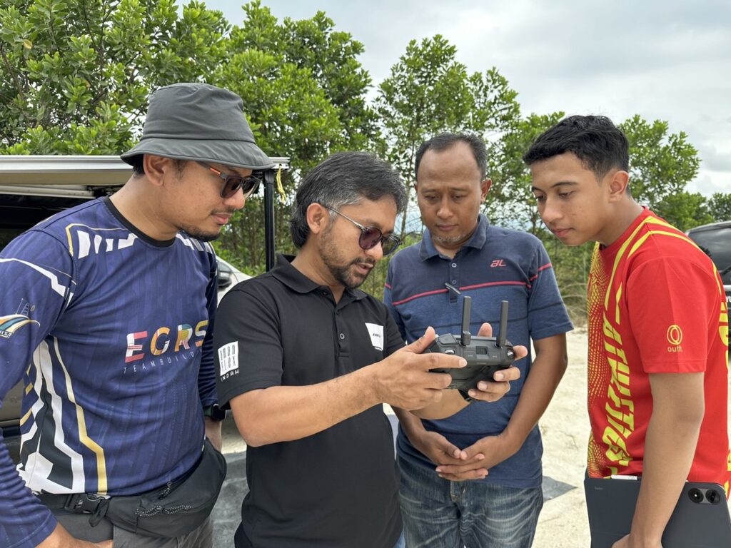
Juruukur Synergy Sdn Bhd is a licensed land surveying company based in Puchong, Selangor, delivering precise and professional geospatial solutions since 2022.
We specialize in cadastral, topographical, engineering, strata, hydrographic surveys, and aerial surveys, supporting both private and public sector developments.
Our team of experts is committed to helping you build with confidence and map with clarity.
About Us
Premier Land Surveying Company
Dedicated to Providing Innovative and High-Precision LiDAR Surveying Services
Committed to Excellence and Technological Advancement
We pride ourselves on integrating cutting-edge LiDAR technology into our surveying processes.
Our vision is to set new industry standards by demonstrating how LiDAR-driven solutions enhance data density and accuracy, ultimately transforming survey results across a wide range of applications.

We Map It Right—
So You Can Build It Right
We collaborate with developers, contractors, and agencies to deliver accurate, reliable surveying and mapping solutions. Together, we turn plans into successful projects.
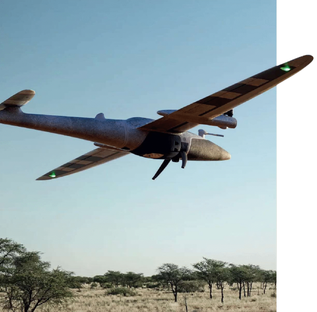
Vision
Our vision is to make cutting-edge geospatial technology affordable and accessible for all businesses, enabling informed decisions and innovation across diverse sectors.
Mission
To deliver precise, reliable and comprehensive survey data by utilising advanced LIDAR technology, empowering clients with detailed and actionable geospatial information for better decision-making.

Our Goals
Make LIDAR affordable & accessible
Provide the helpful business solutions
Help clients overcome challenges
Comply international management and survey standard
Our Management Team

LSr Hafizal Ahlan
PROJECT DIRECTOR / LICENSED LAND SURVEYOR

Mohd Armin Ramlan
GENERAL MANAGER

Shahirah
OFFICE ADMIN

Mohd Afiq Abdul Manaf
PROJECT COORDINATOR

Nursyarizan Shaffie
DESIGN SOLUTIONS COORDINATOR

