Our Services
Our licensed team brings reliable survey expertise to every project — land, sea or structure.
Here’s what we do best.
Built on Accuracy.
Delivered with Precision.
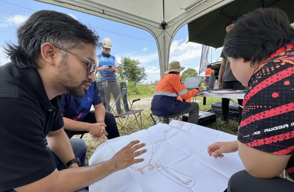
From the ground up, we deliver precise, reliable, and development-ready data. Whether you’re building, buying, planning, or protecting — our expert surveying and mapping solutions help you make smarter decisions with confidence.
Title Survey Solutions
We help developers move forward with peace of mind. Our title surveys identify exact property lines, easements, and encroachments — so you can plan, design, and build without surprises.
Fast, accurate, and development-ready.

Cadastral Survey
Involves accurately defining, demarcating and verifying land boundaries to establish ownership, as well as subdividing or consolidating land parcels for legal registration.

Strata Survey
Mapping the vertical divisions of properties within multi-storey buildings, enabling the creation and registration of strata titles for individual units.
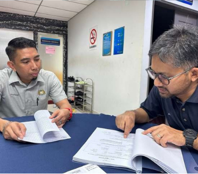
Land Acquisition & Final Title
Involves accurately defining, demarcating and verifying land boundaries to establish ownership, as well as subdividing or consolidating land parcels for legal registration.
Engineering Survey Solutions
From pre-construction to final build, our engineering surveys give you the detailed site data you need to design smarter and build stronger. We provide topographic maps, site grading plans, and layout staking – ensuring every inch of your project is planned with confidence and executed with accuracy.
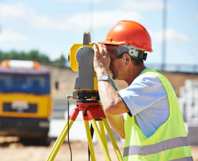
Conventional Land Survey
For simple terrain where conventional methods are easier to implement, including “setting out works.”
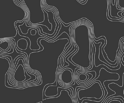
Topographical Survey
Topographical survey maps detailed natural and man-made features of a site, including elevations and contours, to support planning, design and environmental assessments.
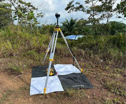
Geodetic Survey
Geodetic survey establishes a network of precise control points over large areas using GNSS and other methods, providing the foundational coordinates for all other surveys.
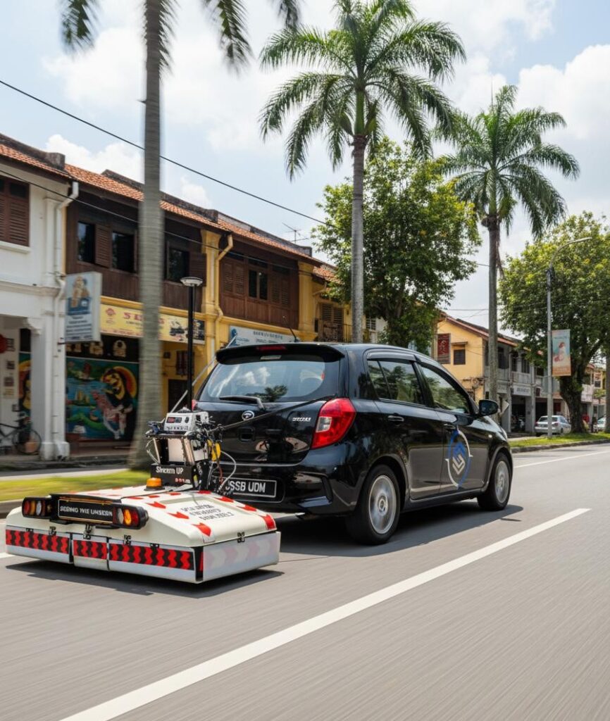
Underground Detection & Mapping
Involves accurately defining, demarcating and verifying land boundaries to establish ownership, as well as subdividing or consolidating land parcels for legal registration.

Geotechnical Investigation
A process of evaluating the soil, rock and groundwater conditions of a site to determine its suitability for construction projects.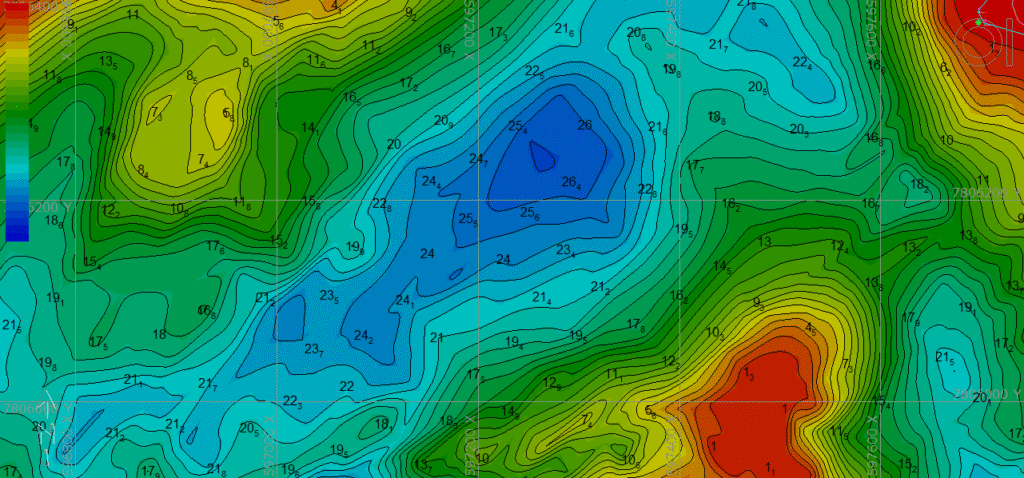
Hydrographic Survey
Mapping and surveying bodies of water (oceans, seas, rivers, lakes) including bathymetry with an emphasis on navigation safety, marine construction and maritime boundaries.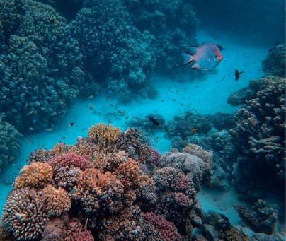
Oceanography Analysis
Comprehensive study of the ocean’s characteristics and dynamics through scientific data collection and interpretation to better understand and manage ocean environments.LiDAR-Powered Survey Solutions
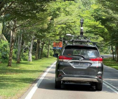
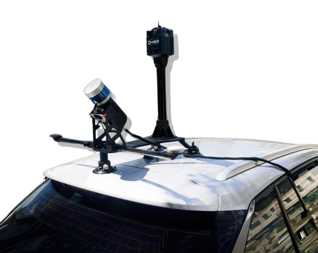
Multi-Platform LiDAR Surveys
With a multi-platform LIDAR scanner, survey data can be quickly and accurately collected, even in narrow alleys and on multi-level highways.
Aerial LiDAR Mapping
When dealing with a large or hard-to-reach area, aerial LIDAR is the most effective method for capturing high-quality, dense data for engineering applications.
3D Modelling & Visualisation
A 3D model serves multiple purposes, including design and visual inspection, condition monitoring, security and even providing walkthroughs or tours for visitors.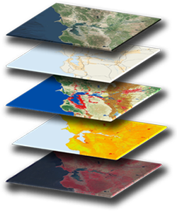
GIS Integration & Support
For more intricate analyses, GIS provides a broad range of solutions that enhance our understanding of current conditions and assist in future predictions.We Map It Right—
So You Can Build It Right
Quicklock Interchangeable Sensors
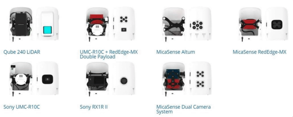

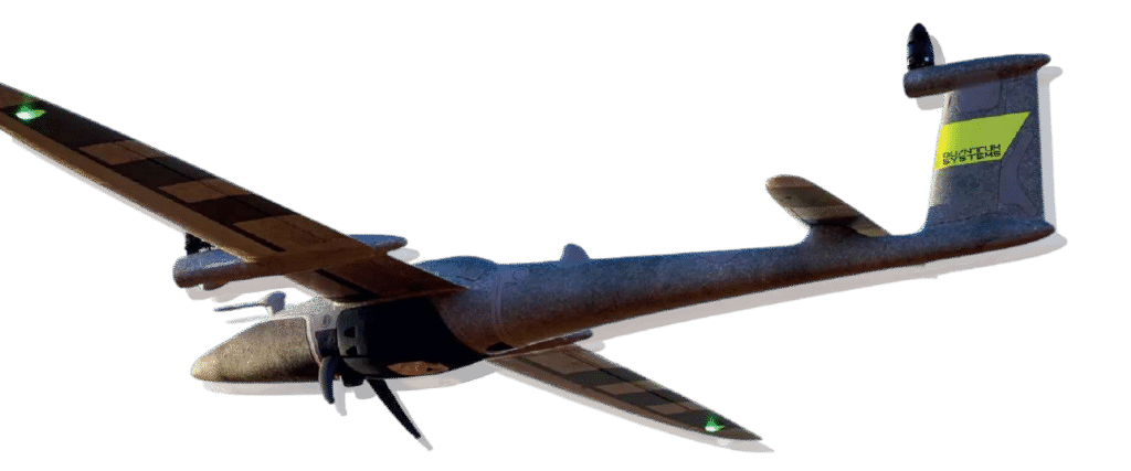
QUANTUM SYSTEM TRINITY F90+ PRO
- Long Flight Time: Offers up to 90 minutes of flight per battery charge, enabling extensive area coverage in a single flight.
- VTOL Capability: Vertical Take-Off and Landing allows operation in confined or rough terrain without the need for runways.
- High-Resolution Mapping: Equipped with advanced sensors and cameras for precise aerial data collection and detailed mapping.
- Robust Design: Built to withstand various weather conditions, making it reliable for diverse environments.
- Easy Operation: User-friendly interface with automated flight planning and data processing workflows to increase efficiency.
- Versatile Application: Suitable for surveying, agriculture, mining and environmental monitoring due to its flexibility and accuracy.
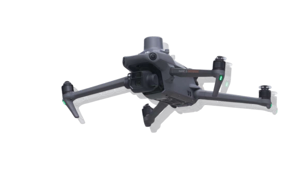
DJI MAVIC 3 ENTERPRISE
- Compact and Portable: Lightweight and foldable design makes it easy to transport and deploy quickly.
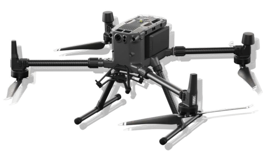
DJI MATRICE 300 RTK
- Robust and Durable: Built with industrial-grade materials for reliable performance in harsh environments and challenging weather conditions.
- Precise Positioning: Equipped with RTK technology for centimetre level accuracy, enhancing mapping and surveying precision.
- Long Flight Time: Provides up to 55 minutes of flight per battery charge, enabling extended missions without frequent downtime.
- Advanced Safety Systems: Features six-directional obstacle avoidance and automatic return-to-home for secure and confident operations.
- Multi-Payload Capability: Supports up to three payloads simultaneously, including high-resolution cameras, thermal sensors and LiDAR systems for versatile applications.
- Seamless Data Integration: Works smoothly with DJI’s enterprise software suite, simplifying mission planning, data collection and analysis.
SCANFLY ULTRA X
- High-Performance LiDAR System: Equipped with the advanced Hesai XT32M2X LiDAR, the Scanfly ULTRA X offers a triple return capability and an impressive range of up to 300 metres across 32 profiles, delivering high-resolution point clouds for detailed mapping.
- Compact and Lightweight Design: Weighing just 1.49 kg, this system is designed for easy integration onto various platforms, including drones, backpacks and vehicles, facilitating versatile deployment in diverse environments.
- Robust Navigation and Control: The integrated Applanix APX-15L Inertial Navigation System (INS) with multi- constellation GNSS support ensures precise georeferencing, enhancing data accuracy even in challenging conditions.
- Enhanced Data Processing Capabilities: Utilising the SmartProcessing Lidar software, the system supports efficient data fusion and processing, enabling quick generation of accurate point clouds. Optional tools like Ground Control Point (GCP) and strip alignment further refine data quality.
- Versatile Application Support: The Scanfly ULTRA X is suitable for a wide range of applications, including topographic surveys, infrastructure inspections and environmental monitoring, making it a valuable tool for professionals in geospatial data acquisition.
